WORLDWIDE LAND
Connecting the Physical World to a Permanent Global Digital Framework.
Explore the world, understand the WWL framework and learn how land and physical assets can be registered, referenced and managed. When you are ready to use a WWL service, create an account or sign in.
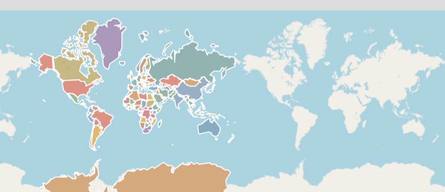
WWL GEOGRAPHIC FRAMEWORK
Explore the World
Explore countries, provinces and locations, then create a WWL Geotag.
Enter the MapFrom Location to Asset
1. Explore
Start with the global geographic framework and drill from country to province.
2. Geotag
Select a point and create a persistent WWL location reference.
3. Define
Upgrade to Digital Title when you need the physical land defined.
4. Record
Build the Digital Record around what is built and recorded.
5. Structure
Represent developments, buildings, floors, villas, plots and other defined physical components.
6. Manage
Keep the asset, documents, verification and connected services together through its lifecycle.